Today, on Nordic Day, we celebrate Nordic cooperation, which includes Denmark, Finland, Iceland, Norway and Sweden as well as the Faroe Islands, Greenland and Åland.
This year marks 61 years since cooperation was made official through the Helsinki Agreement – popularly called the Nordic constitution. The cooperation was created in the years after the Second World War, among other things with the aim that the Nordic countries should together create security and preserve democracy and peace.
The collaboration has grown over the years and today handles many political areas, with the aim that the Nordic Region will be the world’s most sustainable and integrated region by 2030.
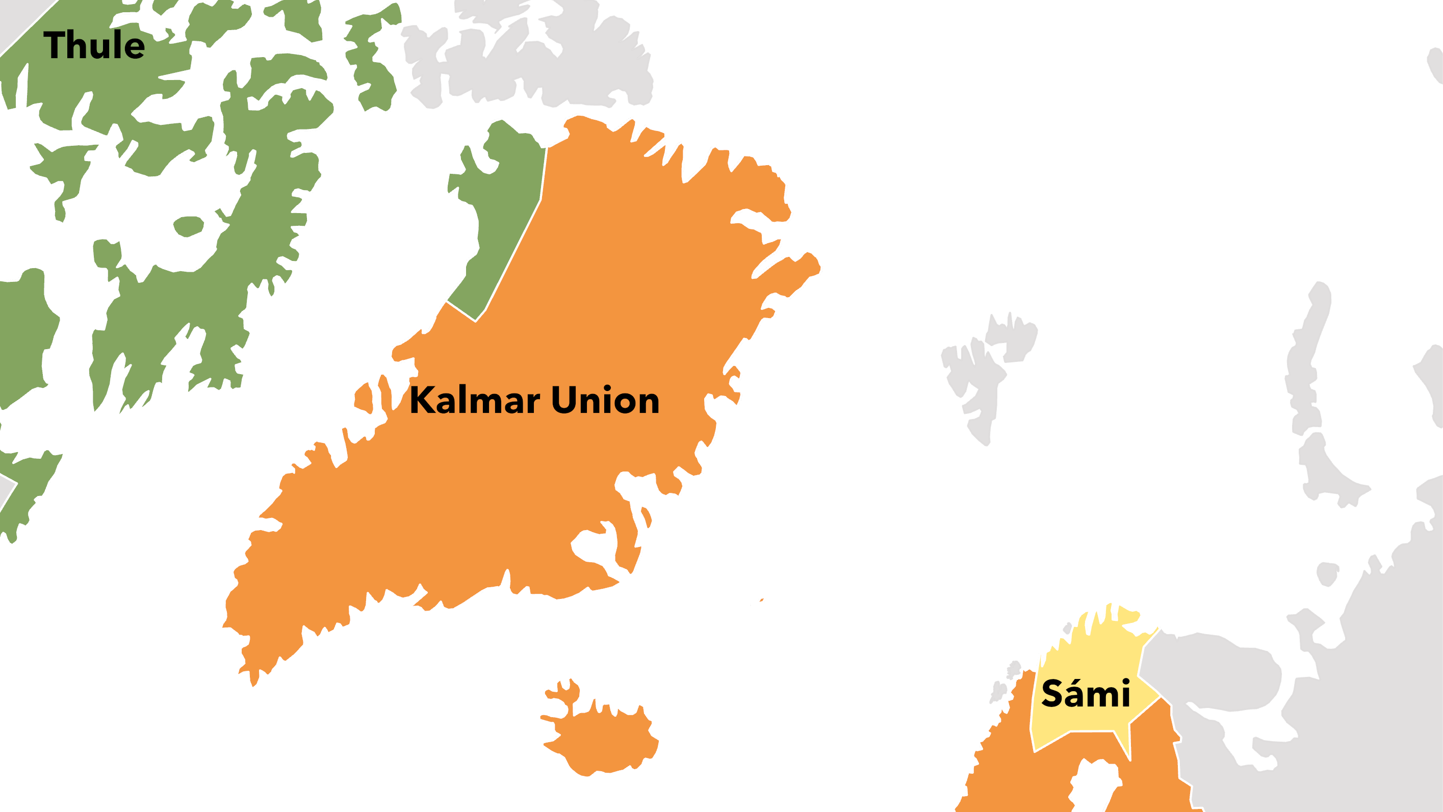
This year, Nordic Day is held in the shadow of the Russian war of aggression against Ukraine, a war that has significant consequences for the whole world, not least for the Nordics. War and peace have always formed the borders of the Nordic region. In our new interactive map tool, you can explore the changing borders and political landscapes of the Nordic Region from the 16th century up to today. From Thule, the Kalmar Union and Sámi – to today’s Nordic Region. Over the past 500 years, the region we know today has been known under many names. Now you have the chance to gain a deeper understanding of our region.
Let Nordregio guide you on a journey through time with our interactive map service. Start exploring today to discover the rich and complex history of the Nordic Region.
