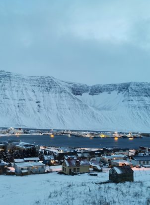
In recent years, feelings of being left behind have grown in some regions across Europe and the Western world, linked to economic, social, and demographic disparities. This visual guide provides an overview of spatial variations across the Nordic Region, illustrating key demographic, socio-economic, and environmental indicators through maps and charts.
By comparing municipalities and regions, the visual guide highlights rural-urban differences and identifies statistically significant patterns at the Nordic level. It categorises municipalities based on Nordregio’s rural-urban typology, offering insights into how urban, intermediate, and rural areas differ in terms of population composition, income levels, green jobs, and greenhouse gas emissions.
SEE MORE
This visual guide complements the Nordregio policy brief Navigating Nordic Discontent, which explores the regional divides shaping political and economic trends in the Nordics and their linkages to the green transition.
These publications are part of the “Ensuring inclusive economic growth in the transition to a green economy (EnIGG)” project. EnIGG analyses how the Nordic countries can accelerate the green transition towards a climate-neutral economy. The publications are part of a working package that looks into the distributive effects of climate policies and analyses how gaps between richer and poorer population groups and regions have developed since the last economic crisis.