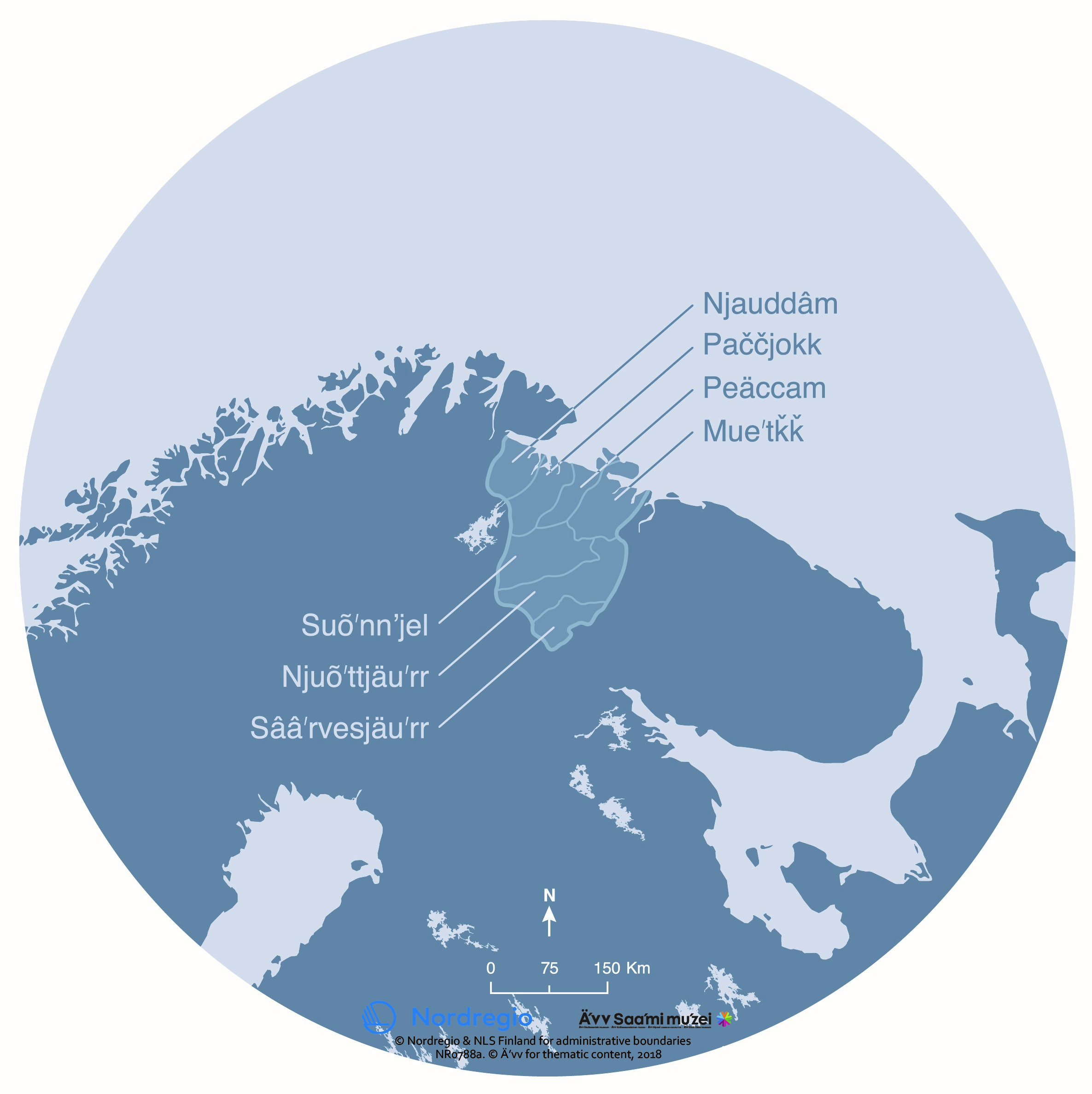
The map shows the location of the seven Skolt Sámi sijjds. The word sijdd refers both to a geographic area and to the people who use it.
The Skolt Sámi are an indigenous people with a unique culture and history. In the past, the Skolt Sámi knew exactly which areas belonged to their sijdd. If necessary, the borders of the sijdd could be redrawn by oral agreements. There were strong social ties between the Skolt Sámi areas. Marriages across sijdds were common. In some places, this sijdd system continued until World War II.
The map was produced for the exhibition Saaʹmijânnam – The Skolt Sámi Land in Äʹvv Skolt Sámi museum in Neiden, Norway. The map is the result of a collaboration between Äʹvv Skolt Sámi museum (responsible for the reconstruction of the Skolt Sámi areas and the exhibition), Yngvar Julin (concept of maps and exhibition architect), Nordregio (base maps) and Rethink. and illustrator Ruth Thomlevold (graphic design).
Back to the main project page.