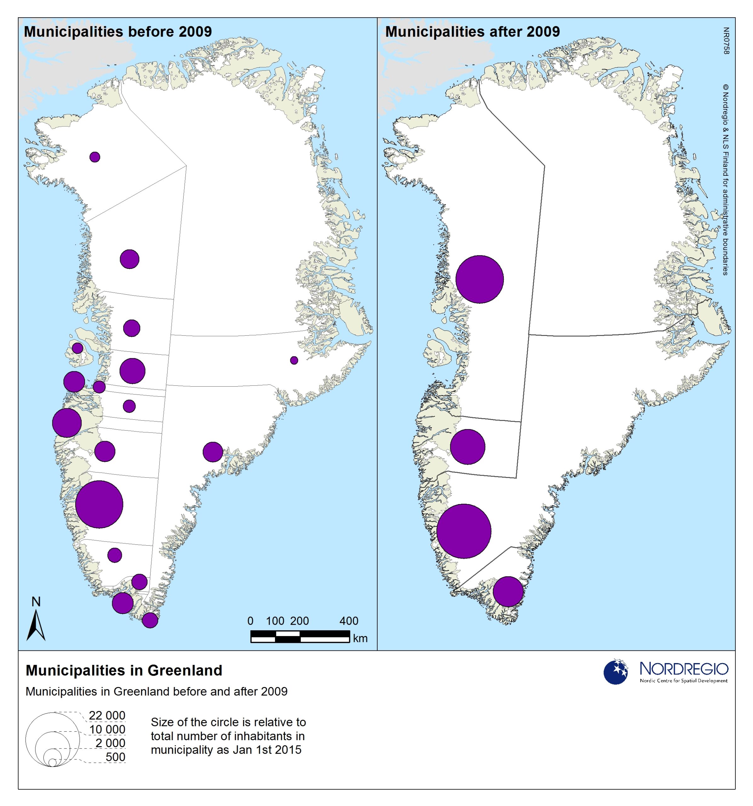
The map shows the municipal reform in Greenland per 1 January 2009, including the previous municipalities that were merged into new municipalities, and the new municipalities, with their respective population sizes.
Map Facts
During 2008, the administrative division in Greenland was changed, which meant that the number of municipalities drastically decreased. In the map, municipalities that existed until 2009 is shown to the left, while the municipalities that exist since 2009 are presented to the right. The circles in the map show the population size for each municipality.
All images are the property of Nordregio. They may be freely used as long as the logo of Nordregio is clearly visible and the source is cited accordingly. Please give also the cartographer/designer/author credit and give full recognition to the data sources if named in the graphic.