Maps and statistics are a fundamental part of Nordregio’s research activities. Our maps are available free of charge through our map gallery.
Although Nordregio’s geographic core consists of the Nordic, Arctic and Baltic Sea Regions, as well as Europe as a whole, the usage of our maps reach wide across the globe.
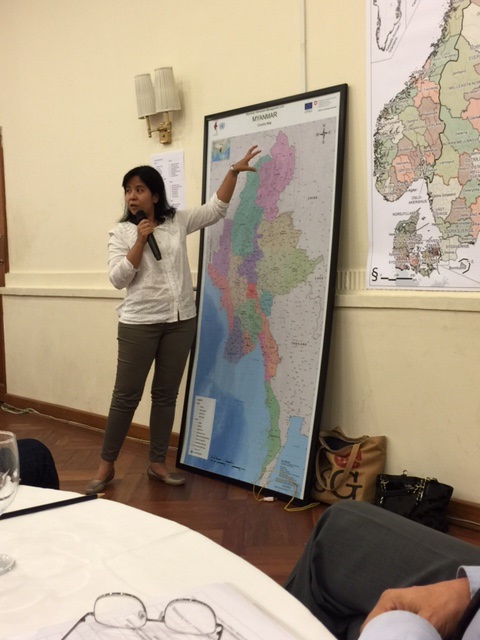
Last week, our map “Regions and municipalities in the Nordic countries in 2015” was displayed in poster format during a workshop in Myanmar. The workshop was held for educational purposes in the Nordic house in Yangon, Myanmar, a building complex which houses the Danish, Finnish, Norwegian and Swedish embassies in Myanmar.

Photo: Ståle Blakstad/Norwegian embassy in Yangon


