Research that guides policies for a thriving, sustainable Nordic Region.


Nordregio is a leading Nordic research institute dedicated to regional development and planning. We equip policymakers and practitioners with the knowledge, tools, and insights needed to tackle societal challenges.
WHATS GOING ON
Latest from Nordregio
Explore the latest updates, research findings, and activities at Nordregio. Learn about our ongoing efforts to foster sustainability in the Nordic, Arctic and Baltic regions.
60
Current ongoing projects
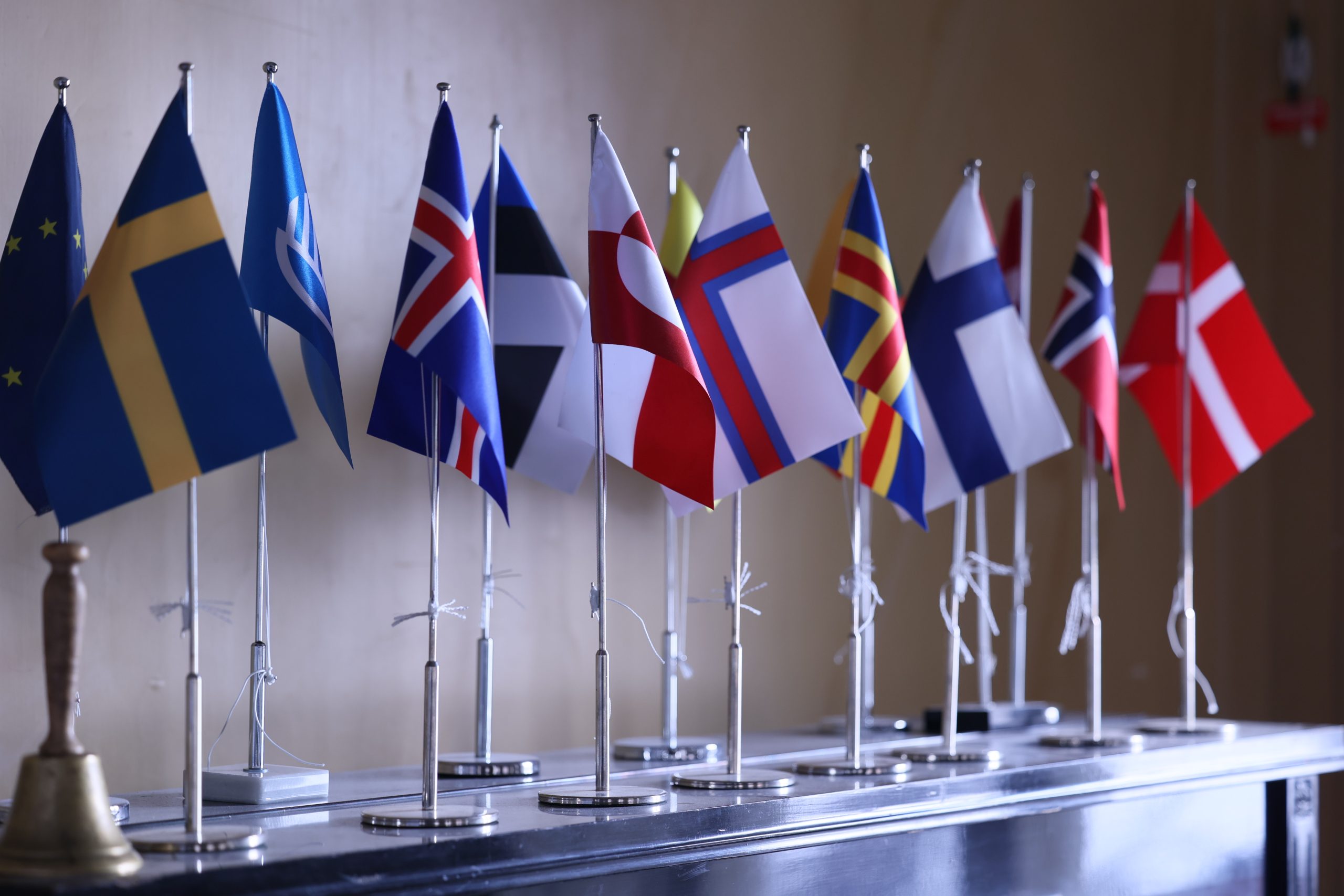
Nordic statistics
Comparable data for regional planning, policy development, and research.

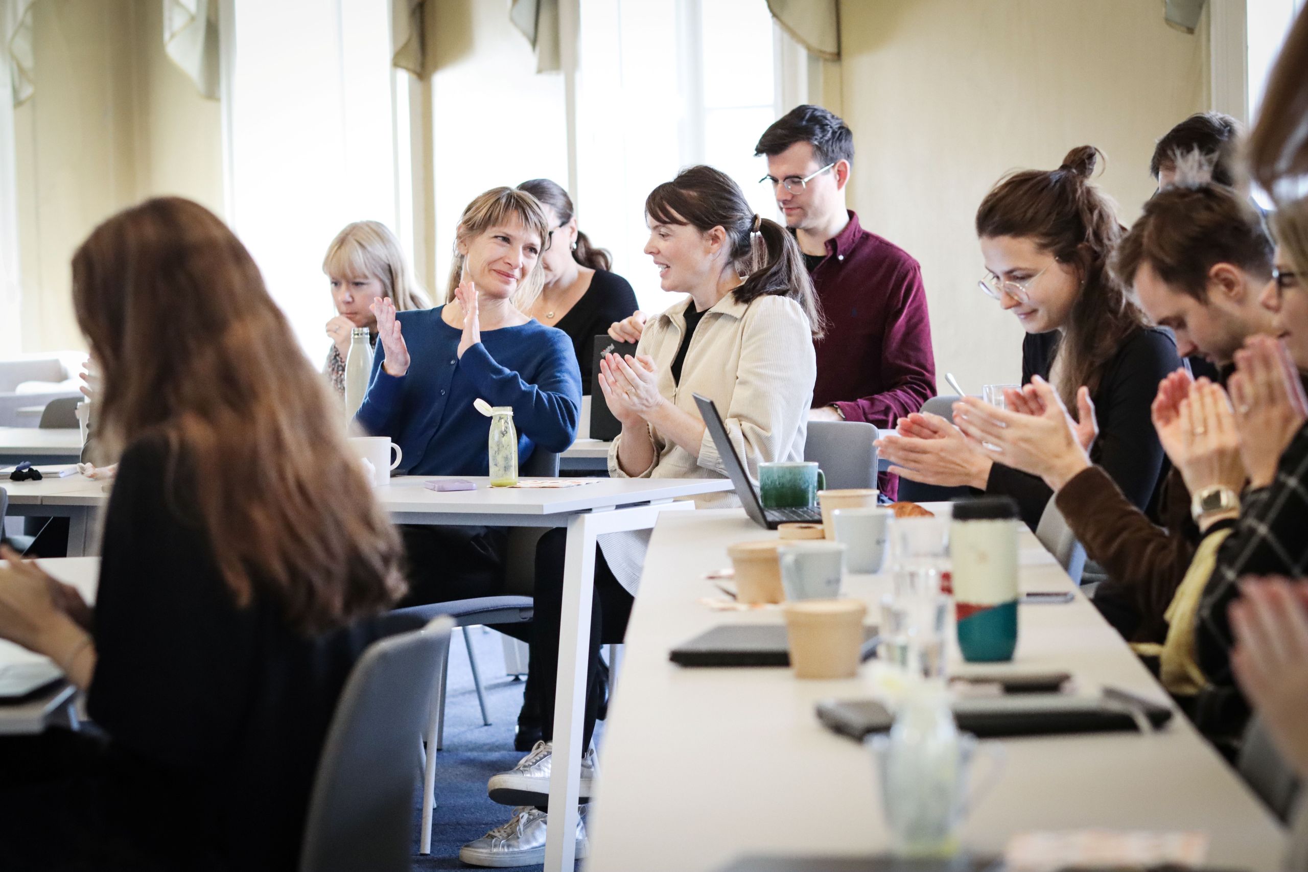
”The best part of Nordregio is the dynamic and exciting projects we work on.”

Est. 1997
About Nordregio
478
Publications online
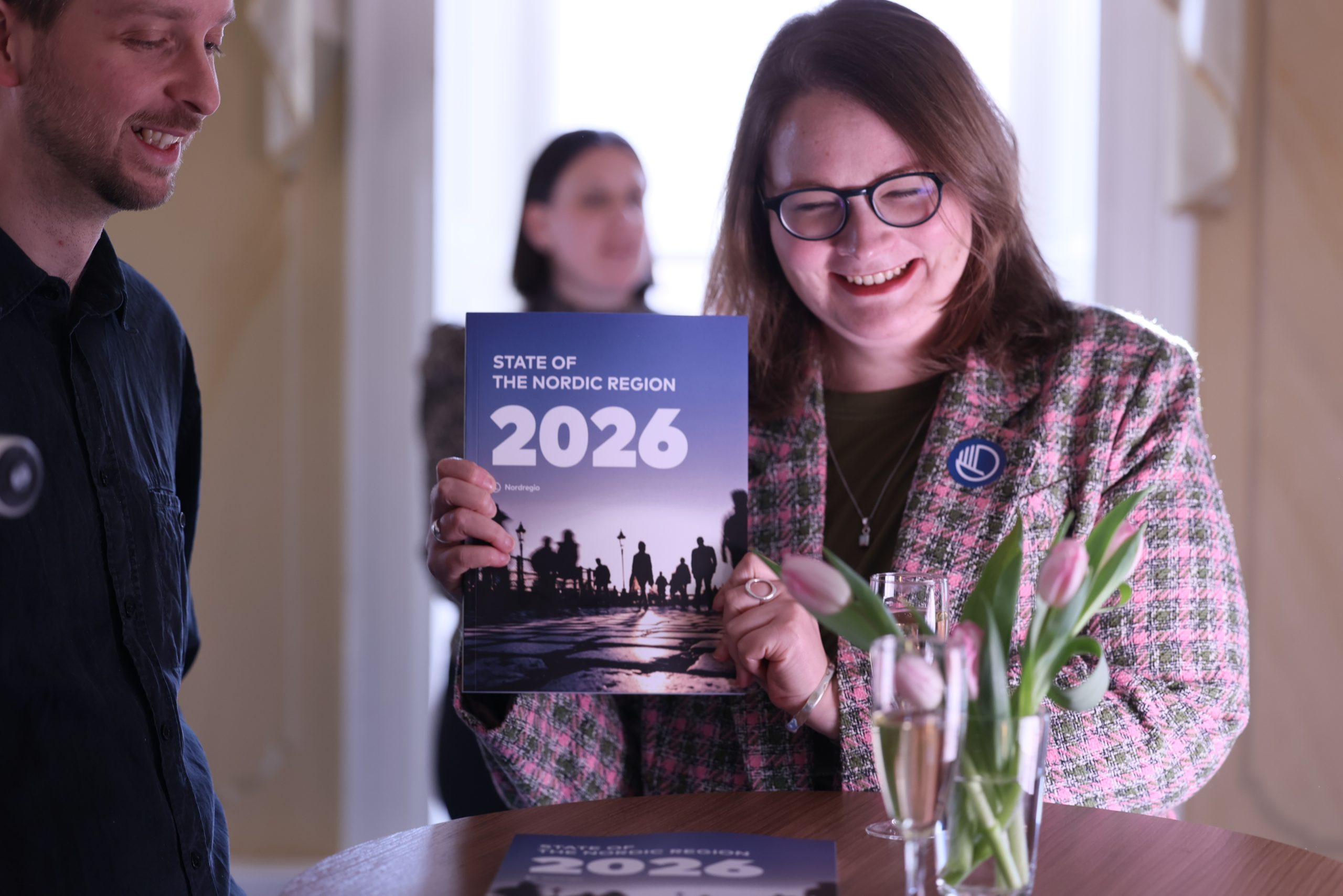
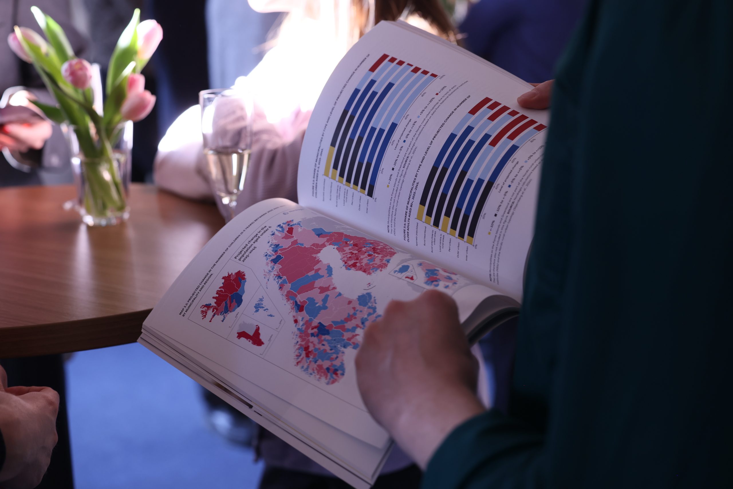
PUBLICATIONS
Dive into our latest research
Discover our most recent research and publications. Stay informed with the latest insights and findings on sustainable regional development in the Nordics.


UPCOMING EVENTS
Meet and
interact
Don’t miss our upcoming events! Network with professionals, share ideas, and participate in activities focused on regional development and sustainability.


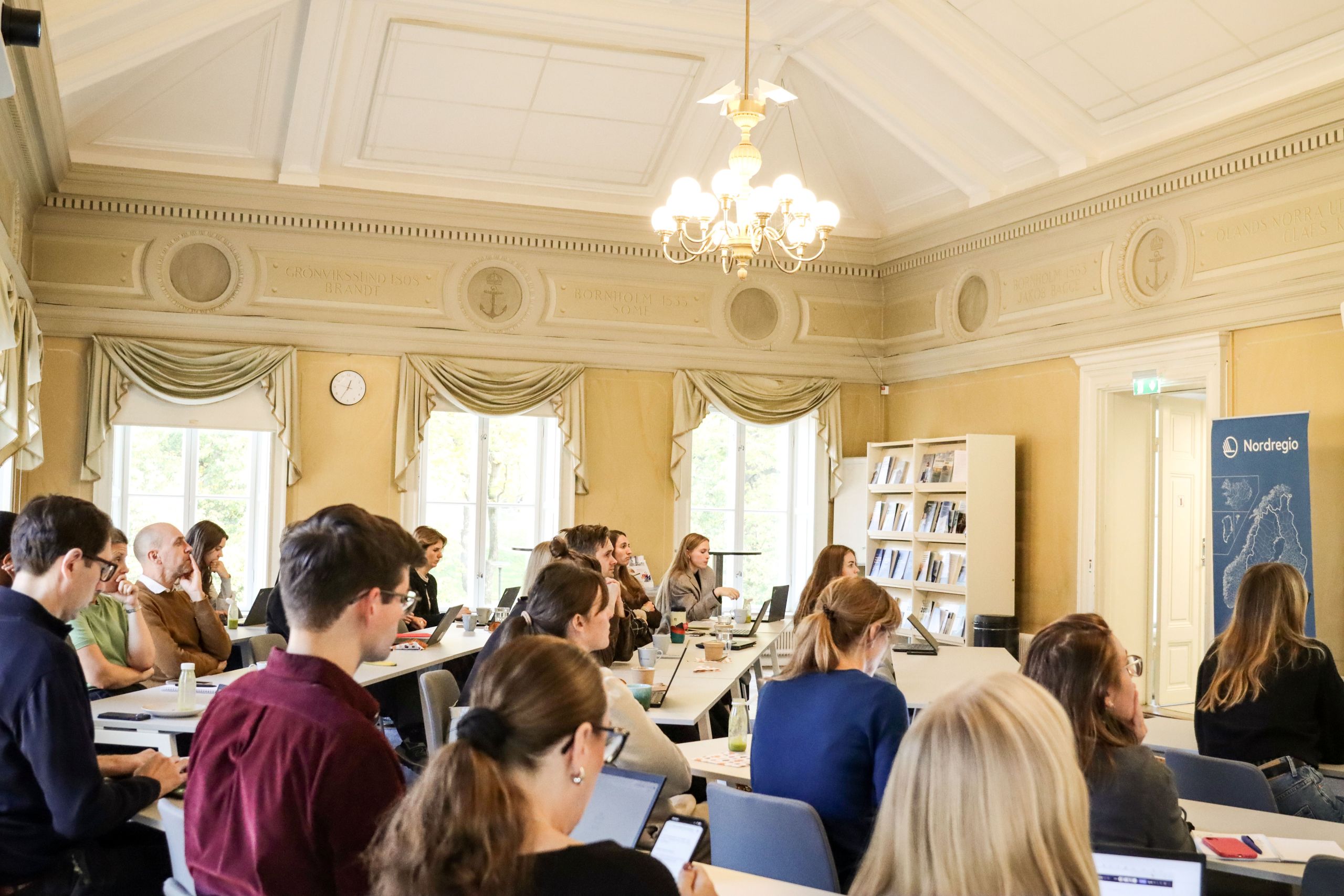
Life at Nordregio
Do you want to contribute to Nordic added value?


