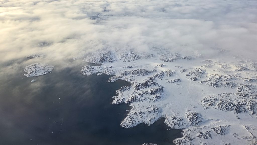
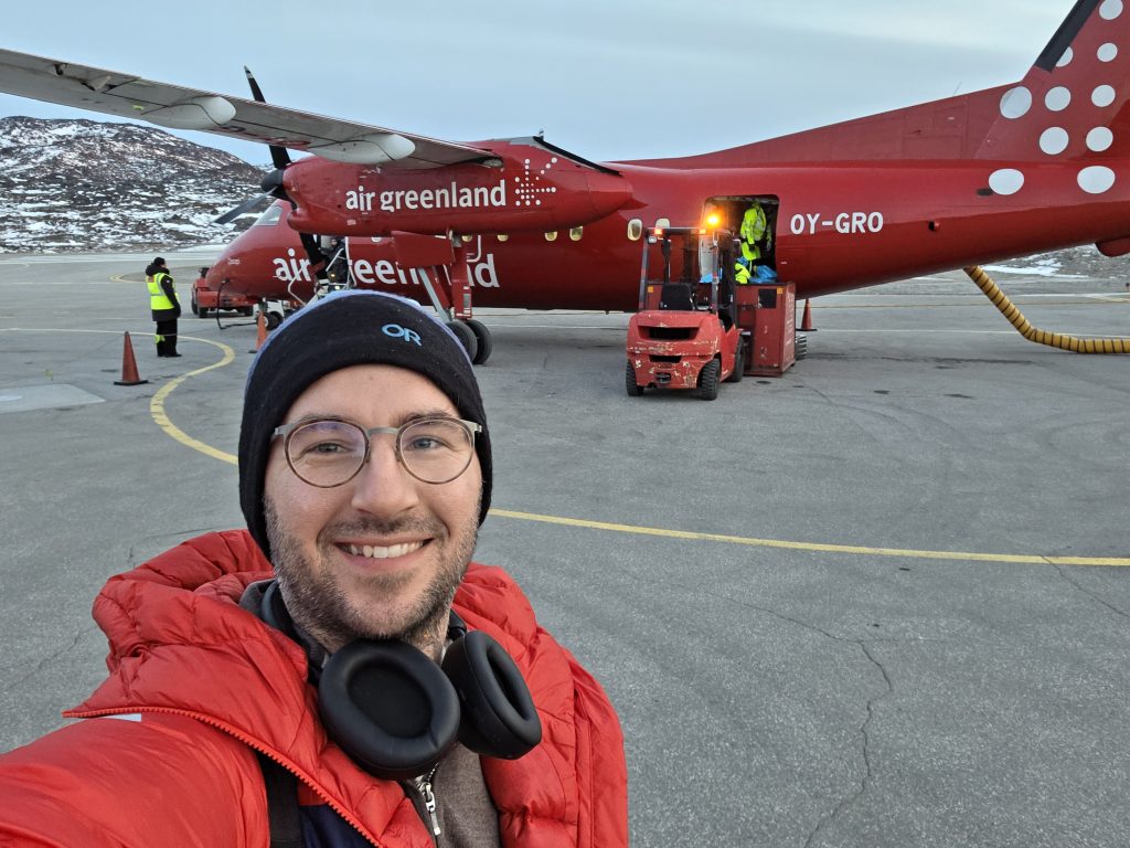
From the window of a small plane descending into Ilulissat, the landscape appears stripped to its essentials. Rock. Ice. Water. A vast, pale geometry. It is easy, at that altitude, to mistake it for emptiness. On the ground, that illusion dissolves quickly.
Over the past weeks, a research team coordinated by Nordregio have been working with the Icefjord Centre, in close collaboration with local staff, to document something far less visible than glaciers or permafrost: memory. Through a series of interviews with residents, each story is being anchored to specific locations using a new digital platform, creating what will soon become a public, interactive map of lived experience across the Ilulissat landscape.
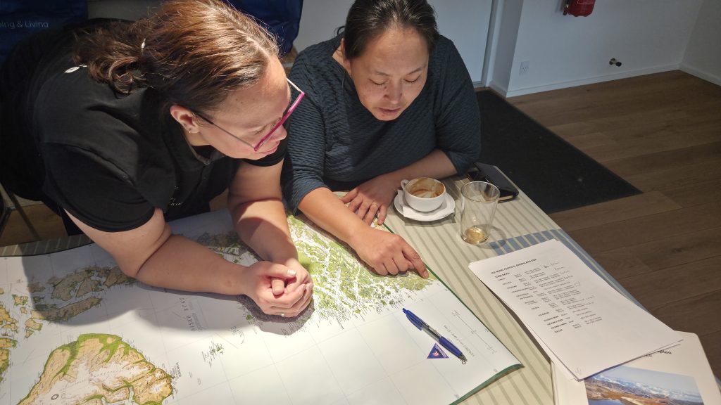
This is the core of the Mapping Memories project. And it begins, quite simply, by asking people to point.
When landscapes become legible
“Flying in, I saw mostly rocks and icebergs,” says researcher Levi Westerveld, reflecting on the first days of fieldwork. “It is only when people begin to explain how they use the landscape, for hunting, fishing, travelling, celebrating, that you realise how much you are not seeing.”
The method is deliberate. Instead of collecting stories in isolation, the project ties each memory to a precise geography. A summer cabin north of Ilulissat. A hunting route across winter ice. A shoreline used for swimming, or mourning, or return.
In just a few days, more than a dozen places were mapped. Each one layered with detail: how much the snow-scooter distances between settlements have changed, what the sounds of moving icebergs feels like, how the memory of houses, graveyards and walking trails lost to climate change, are commemorated.
This is not documentation for its own sake. It is a way of making change visible. As the project frames it, climate change is not only reshaping landscapes, it is eroding the memory systems tied to them .
Places that hold more than ground
Many of the stories gathered so far return to places that carry emotional weight across generations. One interviewee describes Qullissat, a former mining town where her grandmother once lived:
“My happy place… I have family from Qullissat. When I returned in 2022 after many years, a lot of emotions came back. My grandmother’s house is no longer there. A tsunami took it into the sea. Every year in July, we go back, walk around, and visit many places.”
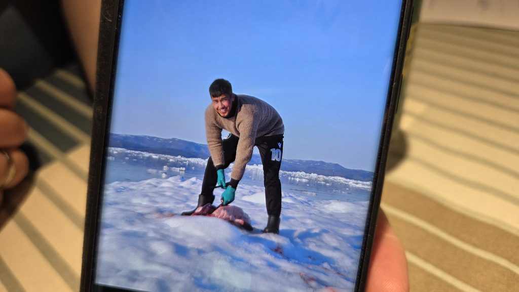
Another recalls childhood journeys to a hunting area:
“Since I was a child, I have gone to Aattartut with my father and brothers. Back then the ice was much larger. Now it is not as big as before… It gives me calm, a good energy. You can see the breathing holes in the ice where seals come up.”
And another speaks of a place simply known as Seqinniarfik:
“I like this place. You can see how the icebergs move. You can hear them. The silence in nature… it is indescribable.”
These are not abstract reflections. They are spatially precise, time-bound, and increasingly shaped by environmental change. Less stable ice. Altered water flows. The quiet disappearance of physical markers that once anchored memory. What emerges is a different kind of dataset. One that connects environmental change to daily practice, identity, and belonging.
From interviews to exhibition
This summer, these mapped stories will move beyond the interview room.
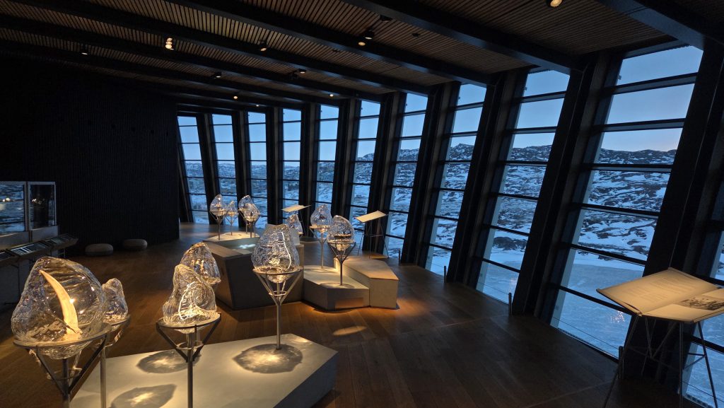
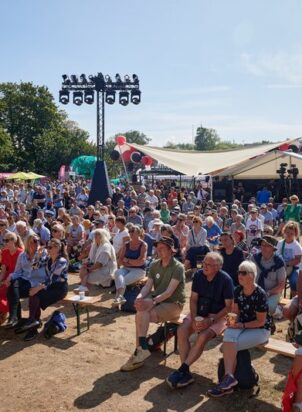
At the Icefjord Centre in Ilulissat, an exhibition will open that brings together the project’s core elements: large-scale maps, personal narratives, and visual materials contributed by participants. Alongside it, the public launch of the places.nu platform will allow visitors and remote audiences to explore the growing archive of stories themselves.
The ambition is not to create a static display, but an interface between research, culture, and lived experience. Mapping Memories positions itself as more than a documentation effort. It is a method. A way of integrating local and Indigenous knowledge into how climate change is understood and addressed in policy and planning.
The exhibition reflects that. It translates interviews into something navigable, relational, and accessible, without stripping away their specificity. Visitors will not just see the landscape. They will encounter it as infrastructure: of memory, of livelihood, of identity.
When memory becomes the missing data
In Arctic policy discussions, attention often gravitates toward what can be measured: temperature rise, ice loss, infrastructure risk. What is harder to capture are the human elements of what disappears when a place changes.
A hunting route becomes unsafe. A cabin no longer needs protection from meltwater. A shoreline shifts. A house is lost to the sea. These are not isolated events. They are disruptions to systems of knowledge built over generations. Mapping Memories argues that this knowledge is not anecdotal. It is data.
By grounding stories in place, the project makes a case that cultural heritage is not peripheral to climate adaptation. It is central to it. A form of resilience that is embedded in how people understand and navigate their environment.
Or, as the project frames it: when landscapes change, what is at risk is not only ecosystems or infrastructure, but the social fabric tied to them .
A map still in the making
Back in Ilulissat, the work continues. More interviews. More points on the map. More translations. Each step carrying the risk of losing nuance, and the responsibility to retain it.
There are practical challenges. How to ask about climate change without forcing the question. How to extend short map descriptions into fuller narratives. How to ensure participants feel ownership over how their stories are used.
But the direction is clear. The landscape, once seen from above as empty, is filling in. Not with new features, but with meaning that was always there, waiting to be named, located, and shared. By June 23rd, when the exhibition opens and the map goes live, that knowledge will be visible in a new way.
Not as background. But as infrastructure.