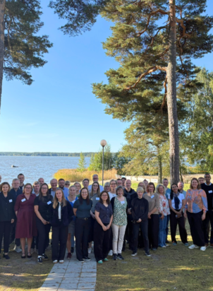
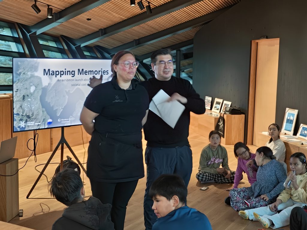
More than 80 people gathered at the Ilulissat Icefjord Centre on 16 September for the launch of Mapping Memories, an exhibition and digital map exploring how climate change affects not only Arctic landscapes, but also the memories, identities and everyday lives connected to them.
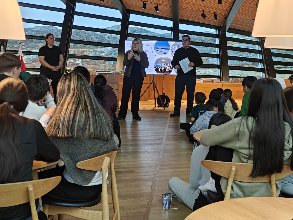
The launch brought together four local school classes, residents of Ilulissat, researchers from all over the world, project partners and four of the people interviewed for Mapping Memories, whose own stories are featured in the exhibition.
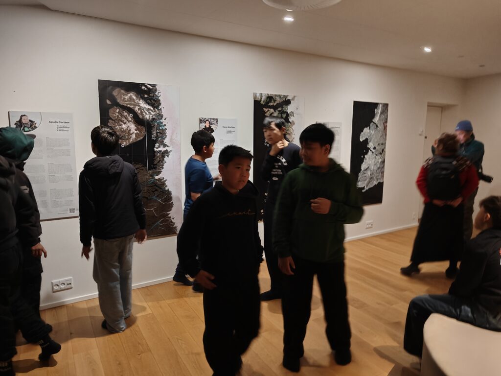
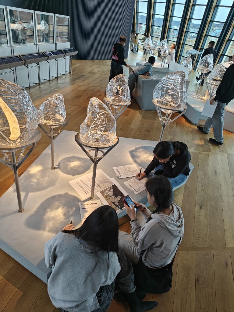
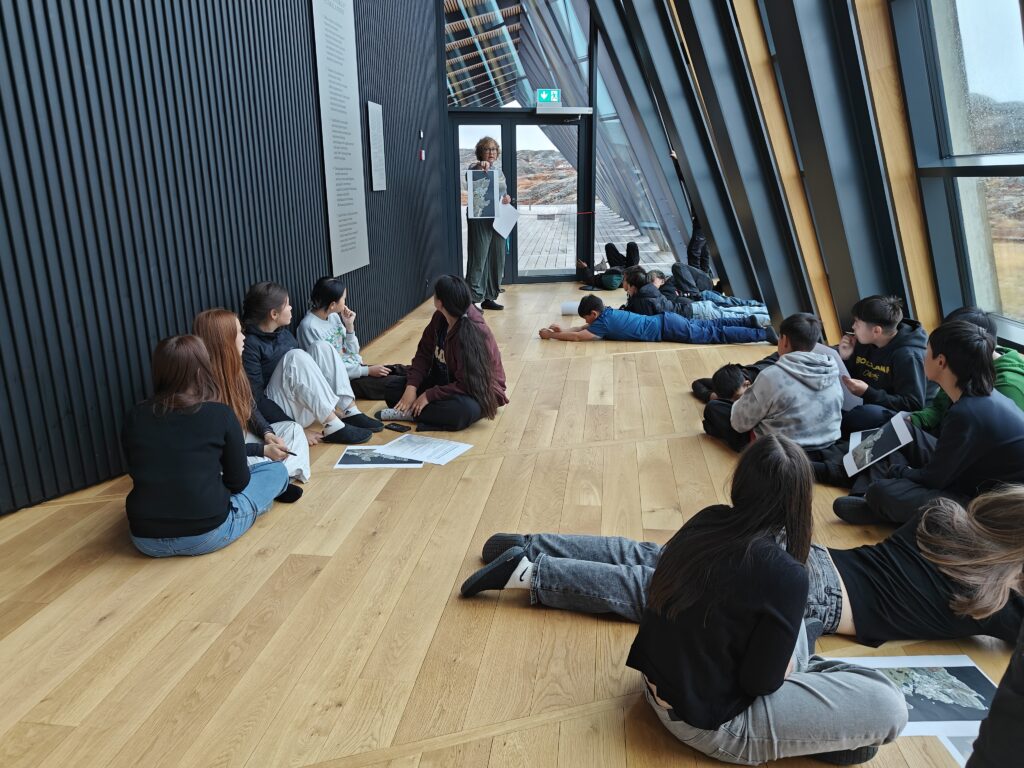
The strong local turnout was central to the event. Students took an active role throughout the morning, moving between the physical exhibition and the digital map, exploring stories independently and working in groups to reflect on places that matter in their own lives.
The Ilulissat Icefjord Centre was clearly familiar territory for many of them. As a well-known and well-used local institution, it provided a natural setting for discussions about memory, place and environmental change.
From research to lived experience
The programme opened with introductions from the Ilulissat Icefjord Centre and a presentation by Joan Nymand Larsen from the University of Akureyri on permafrost thaw and environmental change.
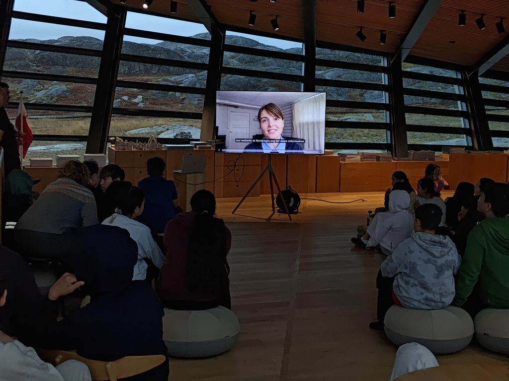
Short video presentations then introduced the research behind the project and the digital mapping process. Nordregio researcher Justine Ramage explained how the interviews were conducted and why personal memories can add another layer to climate research, while Levi Westerveld from Places.nu demonstrated how the stories were connected to specific locations on the digital map.
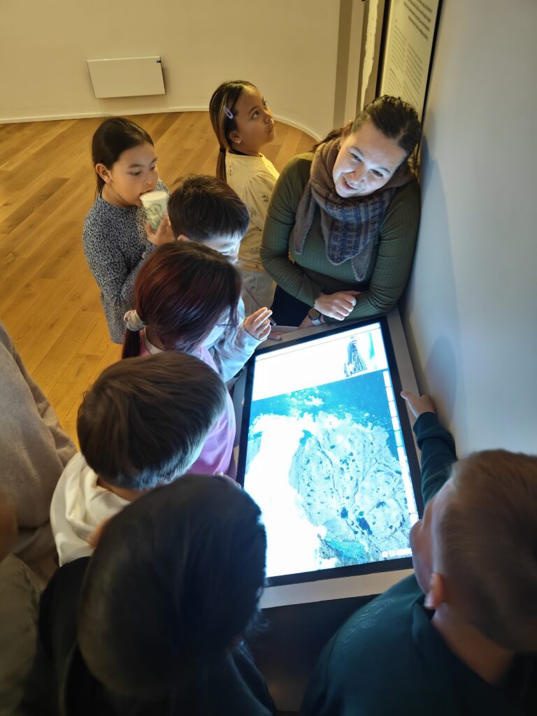
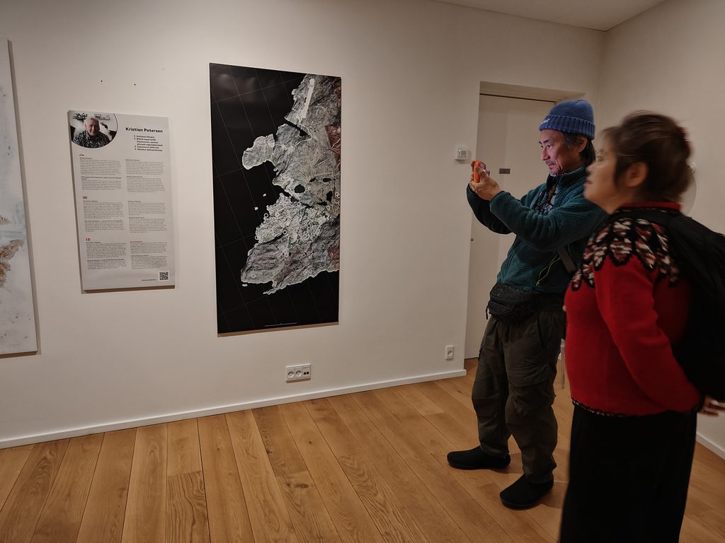
The digital map was available throughout the exhibition through QR codes and a touchscreen display. It quickly became one of the most used elements of the launch, allowing visitors to move between mapped places, personal stories and the physical exhibition in the room.
What makes a place matter?
After exploring the project stories, students were invited to think about places that matter to them.
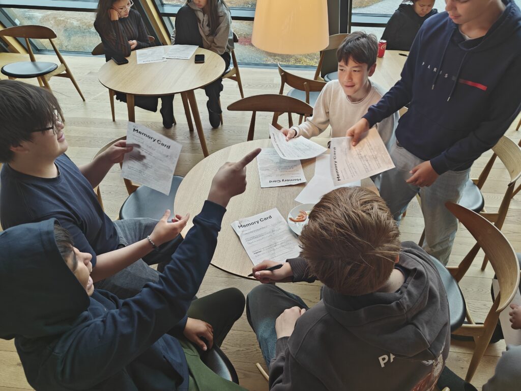
Working in small groups, they chose locations connected to their families, school or community and discussed why those places were important, what memories were attached to them and how they might change in the future.
The exercise made one of the project’s central ideas concrete: climate change is not only about large-scale environmental processes. It also affects familiar places, daily routines and the meanings people attach to their surroundings.
Students then created their own memory cards, combining a place, a story, an observed or imagined change and a message for future generations.
A programme shaped by the weather
A planned walking tour to one of the story sites in Ilulissat had to be cancelled because of a heavy rainstorm.
Instead, the programme was adapted to allow more time for group discussion and storytelling led by the Ilulissat Icefjord Centre.
The change was a practical reminder of the flexibility required in places where environmental conditions can shift quickly. It also echoed the wider theme of Mapping Memories: landscapes, routines and the ways people move through them are never completely fixed.
Why Ilulissat matters
The launch took place in a region already experiencing climate change at an accelerated pace.
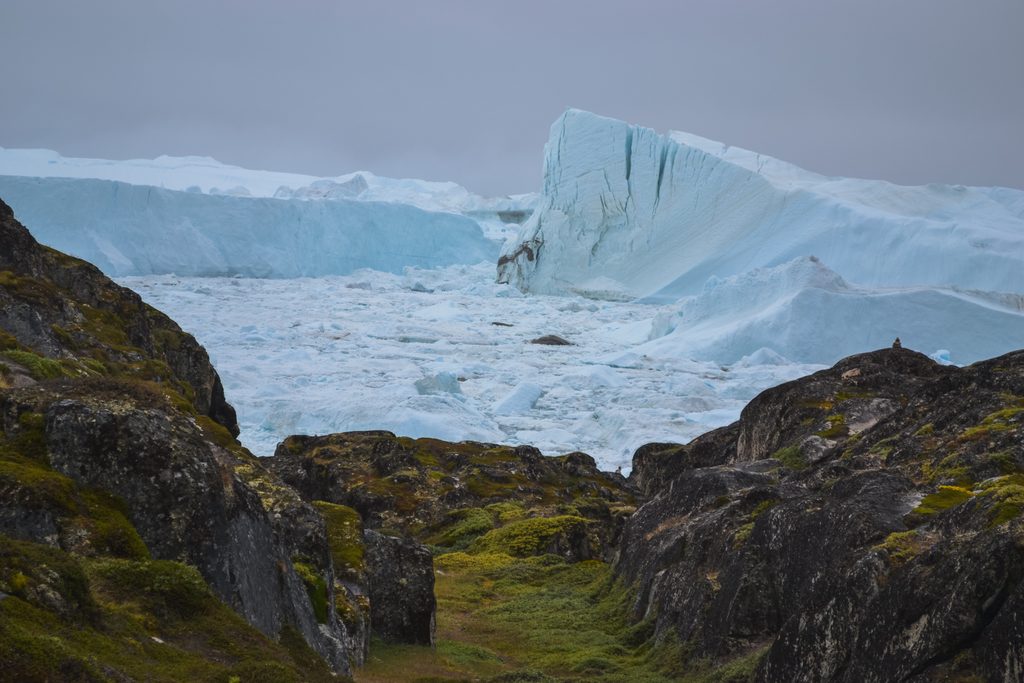
The Arctic has warmed nearly four times faster than the global average since 1979. Near Ilulissat, Sermeq Kujalleq, also known as Jakobshavn Glacier, is one of the fastest and most active glaciers in the world and produces roughly 10 per cent of Greenland’s calved ice.
These changes matter far beyond Greenland. Arctic permafrost stores enormous quantities of carbon, and thawing ground can release carbon dioxide and methane into the atmosphere, adding to global warming. Changes to Greenland’s ice sheet also contribute to global sea-level rise.
What happens in the Arctic therefore does not stay in the Arctic.
Mapping Memories adds a human layer to that wider picture. Scientific data can show where ice is retreating or where ground is becoming unstable. The stories collected in the project show what those changes mean to the people who live with them.
A project rooted in people and place
The launch demonstrated that this approach resonates across generations.
Older residents contributed memories and experiences from places that have already changed. Students explored those stories and then created their own. Researchers, local institutions and residents met around the same maps and questions.
That exchange is at the core of Mapping Memories.
By documenting places through the people who know them, the project makes climate change more tangible and helps preserve knowledge that could otherwise disappear as landscapes continue to change.
The project now lives on beyond the launch day. Explore the Mapping Memories digital map to discover the stories connected to places across Ilulissat, or use the learning materials for teachers and educators to bring the project into the classroom. The downloadable resources include an exercise sheet, memory cards and supporting materials designed to help young people explore the links between climate change, place, memory and cultural heritage.